

30/07/2026
-
Products
-
-
Explore
- About Us
- Where to Buy
- Support
Products
Explore
RTK GNSS is a high-precision satellite positioning method that pairs a moving rover with real-time corrections from a base station or reference network. It uses carrier-phase measurements to reduce positioning errors and can achieve inch-level accuracy under suitable conditions. Performance still depends on clear satellite visibility, stable correction links, and an open view of the sky. For robotic mowing, surveying, and similar applications, check the site for dense tree cover, tall buildings, and other obstructions before relying on RTK positioning.
RTK GNSS appears in specifications for robot lawn mowers, survey tools, drones, and mapping equipment, which raises a common question: is it simply more accurate GPS, or a different positioning system? The distinction matters in yards with trees, slopes, narrow passages, or places where a basic satellite position can drift. A useful explanation begins with what RTK GNSS means, what it corrects, and where its limitations remain.
RTK GNSS adds live corrections to satellite positioning so a receiver can calculate a much more precise location while it is operating.
GNSS is the umbrella term for satellite navigation systems, including GPS and other constellations. RTK is not a separate satellite network. It is a correction method layered onto standard satellite positioning. A basic GNSS receiver estimates position from satellite signals alone. RTK, short for real-time kinematic, compares those signals with correction data from a known reference source and updates the position estimate in real time.
This distinction matters because RTK GNSS improves precision and repeatability but does not guarantee exact positioning in every environment. Accuracy depends on the correction source, receiver setup, sky view, and the system’s ability to maintain a fixed solution. If correction data is interrupted or satellite reception becomes weak, the receiver can switch to a less precise state. RTK enables high-precision positioning when both the setup and the site support it.
The practical meaning of RTK GNSS is real-time correction of the remaining errors in ordinary satellite positioning. The rover, which is the moving receiver, calculates its position from satellite signals while also receiving correction data from a base station, reference network, or another local correction source. Because that correction source knows its own position, it can measure signal errors and send adjustments to the rover.
The critical step is carrier-phase positioning. Instead of relying only on the basic timing code in satellite signals, RTK uses the carrier phase to resolve position much more precisely. When the receiver has enough clean satellite data and stable corrections, it can reach a fixed solution. That fixed state is what matters for boundary following, survey points, machine guidance, and repeatable routes.
Site conditions still determine the result. Buildings, dense tree cover, slopes, metal structures, and reflected signals can block or distort reception. RTK improves the position calculation, but it does not remove the need for clear satellite signals.
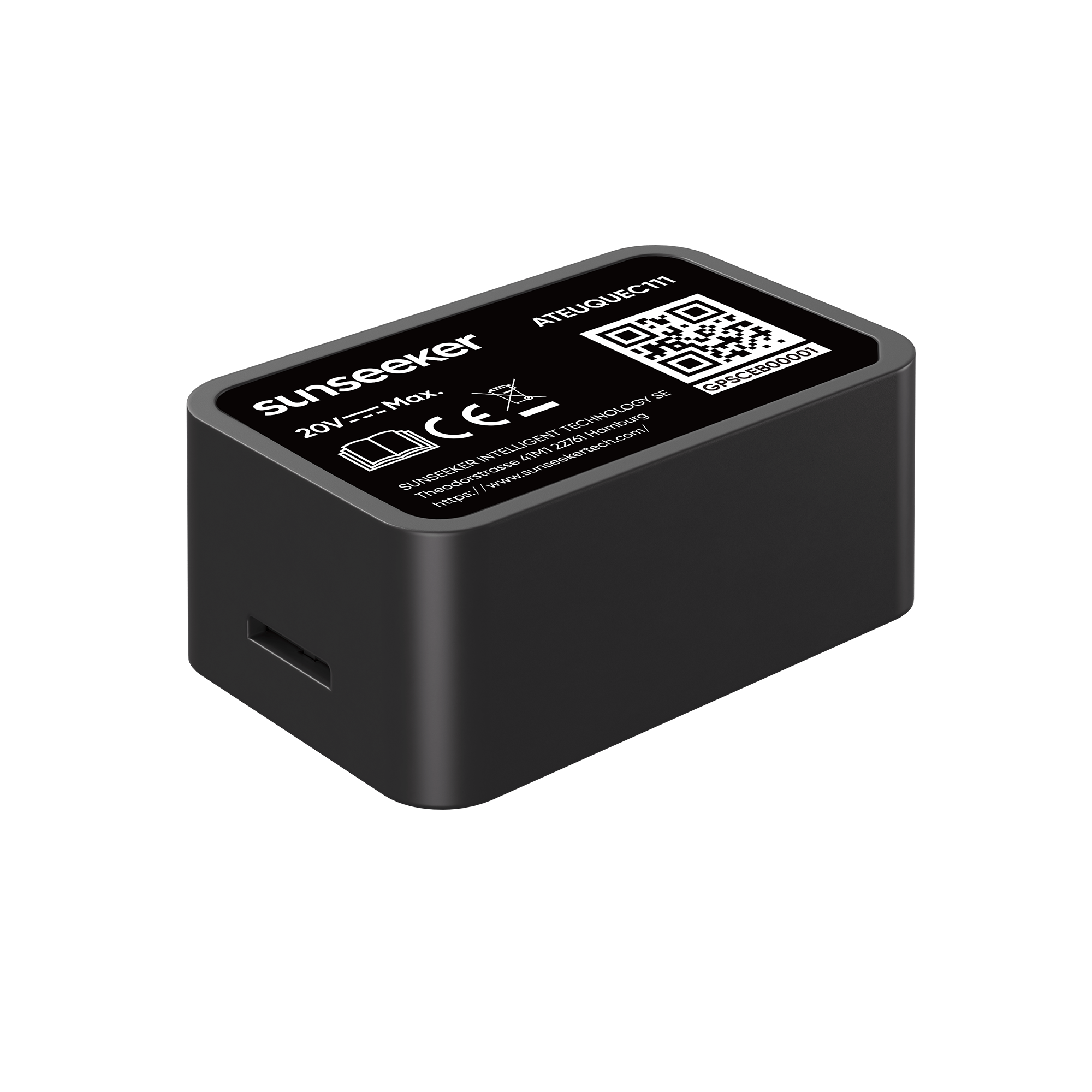
A working RTK GNSS setup needs four basic elements: a rover receiver, satellite visibility, a correction source, and software that can use the corrected position. A survey rover may be mounted on a pole, while a robotic mower has the receiver built into the machine. For lawn care, the corrected position helps the mower locate itself relative to mapped boundaries and planned routes.
Correction data generally comes from one of three arrangements. A local base station at a stable point can send corrections directly to the rover. A network service can deliver corrections over the internet from multiple reference stations. Some integrated systems combine the receiver, antenna, correction link, and control software so the user does not have to manage each technical layer separately.
For homeowners comparing wire-free mowing systems, positioning technology should inform the decision without becoming the only consideration. Review the yard layout, obstacle handling, signal reliability, and setup requirements together. RTK is one part of the navigation system, not the complete answer.
RTK GNSS accuracy can reach inch-level when the receiver has strong satellite geometry, clean signal reception, reliable corrections, and a fixed solution. That is the practical accuracy tier people mean when they compare RTK with ordinary consumer GPS, which is usually discussed in much broader meter-level terms. The best way to judge RTK is by operating state: fixed is the target, while float or degraded positioning means accuracy has dropped.
That level of repeatable positioning is useful anywhere outdoor guidance needs to stay consistent. Surveying uses it for measured points and layout work. Agriculture uses it for machine guidance and field operations. Drones use it for mapping and flight paths. Construction equipment uses it for machine control. Lawn and garden robotics use the same principle to navigate with less reliance on physical boundary wires.
For homeowners considering a wire-free robotic mower, this is where a model such as the Sunseeker X7 becomes relevant. Evaluate the complete mowing experience rather than the RTK label alone. Check if the navigation system can maintain reliable positioning across the yard, handle obstacles and narrow areas, and recover smoothly when satellite or correction signals become weak.
RTK GNSS is a correction method that can turn standard satellite positioning into repeatable, high-precision guidance when conditions are suitable. It is most useful where the site has open sky, dependable corrections, and a receiver that can maintain a fixed solution. Before relying on it, inspect the work area for tree cover, walls, and other common sources of signal loss.
Under favorable conditions, RTK GNSS can provide inch-level positioning, a significant improvement over standard consumer GPS at foot-level accuracy. To maintain that precision, the receiver needs clear satellite visibility, stable corrections, and a fixed solution. If conditions deteriorate, it may switch to a less precise float state.
A complete RTK GNSS setup requires a rover receiver, visible satellite signals, a dependable correction source, and software that can process the corrected position. The correction source may be a local base station or a network service. Each component must work properly for the system to calculate real-time adjustments.
When obstacles such as trees or buildings block satellite signals or correction data, positioning accuracy decreases. The receiver may move from a fixed solution to a float or degraded state. It will operate with lower precision until it can restore a clear view of the sky and a stable correction stream.