


30/07/2026
-
Products
-
V Series
-
-
-
-
Explore
- About Us
- Where to Buy
- Support
Products
V Series
Explore
Visual SLAM (vSLAM) is a navigation method where a device uses camera images and motion sensors to map an environment and track its position in real time. Performance depends heavily on variables like lighting consistency, lens cleanliness, and distinct visual landmarks. While highly flexible compared to physical boundary wires, vSLAM works best in structured spaces with stable features. For optimal reliability, choose a system that integrates auxiliary sensors like wheel encoders to handle temporary visual obstructions.
A robot lawn mower, vacuum, drone, or garden robot that “sees” its way around sounds simple until the term vSLAM appears on a spec sheet. The confusion starts when visual mapping gets mixed up with GPS, boundary wires, LiDAR, or basic obstacle detection. That matters if you are judging whether a device can handle real grass edges, shade, furniture, and changing outdoor conditions. Start with what the term actually means, then the navigation pieces make more sense.
vSLAM means visual simultaneous localization and mapping: a device estimates where it is while building a map from camera input.
The key boundary is the word “visual.” vSLAM relies on images, not buried wires, satellite position alone, or a preloaded floor plan. The system tracks visible features such as edges, corners, texture changes, and landmark shapes to understand movement through space. That makes it different from simple camera-based obstacle detection, which may notice an object ahead without creating a usable map.
The common mistake is to treat vSLAM like a magic camera brain. It is not. Reliability depends on lighting, enough visible features, camera placement, lens quality, processing power, and whether other sensors help confirm motion or orientation. A plain wall, glare on wet paving, deep shade, or a camera blocked by clippings can all reduce confidence. Good vSLAM is a navigation method, not just a camera listed on the box.
vSLAM navigation runs as a continuous loop: capture images, identify stable visual features, estimate movement, update position, and refine the map.
Each camera frame provides raw visual data. The software selects trackable points or shapes and compares them across frames. When a cluster of features shifts in a consistent way, the device estimates how far it moved and in which direction. That estimate becomes localization: the machine’s best current position inside its map.
Mapping happens at the same time. As the device sees new areas, it adds them to a visual model of the environment. When it recognizes a feature it has seen before, it can correct accumulated drift. That correction matters because small motion errors stack up during repeated turns, slopes, bumps, or wheel slip.
Do not confuse this with storing a single photo of a yard. Useful vSLAM depends on repeatable feature recognition while the scene changes. Grass height, sun angle, shadows, leaves, patio furniture, and open gates can all alter what the camera sees.
A vSLAM system starts with one or more cameras, then combines visual data with motion sensing and control modules.
The camera provides the evidence for the map. A wide view helps keep more landmarks in sight, while camera placement determines whether the system sees useful structure or mostly blank grass. Visual processing turns image frames into feature matches, position estimates, and map updates.
Support sensors often matter just as much as the camera. Wheel encoders estimate travel distance from wheel rotation. An inertial measurement unit senses tilt, rotation, and acceleration. Some machines also add ultrasonic, radar, bump, or depth sensing for obstacle awareness. These do not replace vSLAM, but they reduce ambiguity when the camera view is weak.
The control module turns position confidence into action. When the system knows where it is, it can follow a planned route, avoid repeat passes, return to a dock, or pause when navigation confidence drops. Processing power sets the practical ceiling: visual mapping has to run fast enough for the machine’s speed and turning behavior.
vSLAM is used wherever a machine needs to understand its surroundings and navigate locally without relying entirely on external infrastructure. Common applications include robot vacuums, warehouse robots, inspection drones, autonomous carts, AR headsets, and robotic lawn mowers.
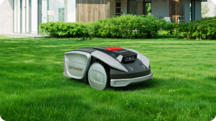
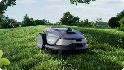
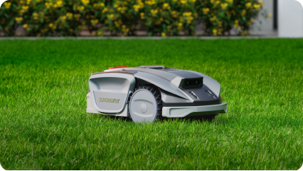
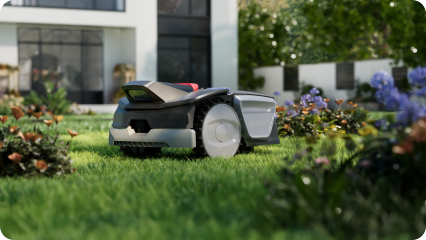
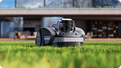
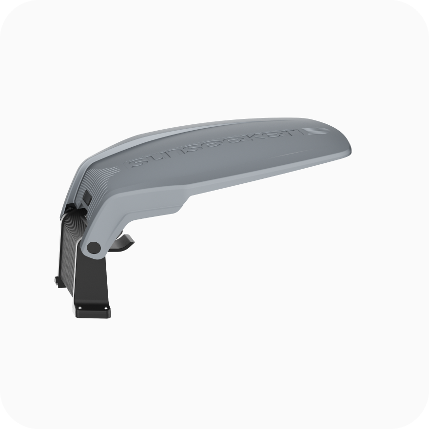
In lawn care, vSLAM can help a mower build a visual map of the yard, plan routes, and move through areas where GPS alone may be too weak or imprecise. When considering a model such as the Sunseeker S5, the key point is how well its navigation system performs in your specific yard rather than simply whether cameras are listed among its features.
The main advantage of vSLAM is flexible mapping. A vSLAM-enabled device can learn the layout of a space, adjust its route, and reduce reliance on fixed physical guides.
Its limitations are mainly environmental. Performance may decline in poor visibility, repetitive surroundings, sudden lighting changes, or when the camera lens is dirty. Outdoor lawns also introduce moving grass, shadows, rain residue, and seasonal changes. In a vSLAM vs LiDAR comparison for a mid-size garden, vSLAM is better suited to yards with clear visual features such as paths, fences, trees, flower beds, borders, and consistent access routes.
vSLAM is most useful when you need a machine to build and use its own visual map rather than follow a wire or rely on rough position data. It works best in spaces with stable landmarks, usable light, and predictable access routes. If your yard changes constantly or has long featureless stretches, check those conditions before you expect clean, efficient navigation.
When a vSLAM camera lens becomes dirty or blocked by grass clippings, the system loses its ability to track stable visual features like edges and corners. This drop in visibility reduces navigation confidence, causing the device to pause or drift. To prevent this, the machine relies on support sensors like wheel encoders and inertial measurement units to estimate movement until the camera view is cleared.
No, vSLAM cannot navigate effectively in complete darkness because it relies entirely on capturing visible features from image frames. Reliable mapping requires adequate lighting to identify landmarks like texture changes, borders, and shapes. If a yard or room has deep shade or sudden lighting shifts, the system’s confidence drops, and it may fail to calculate its position accurately.
A vSLAM system is supported by wheel encoders that estimate travel distance and an inertial measurement unit that senses tilt, rotation, and acceleration. Some devices also integrate ultrasonic, radar, bump, or depth sensors to detect obstacles. These auxiliary tools do not replace visual mapping, but they prevent navigation errors when the camera encounters weak visual conditions or repetitive scenery.