


24/08/2026
-
Products
-
V Series
-
-
-
-
Explore
- About Us
- Where to Buy
- Support
Products
V Series
Explore
RTK anchors a mower to corrected satellite coordinates in open sky, while vSLAM tracks motion from visual features when coverage dips. An rtk vslam hybrid is most useful where those conditions alternate along one route. Calibration, sync, and recovery logic decide whether the handoff stays smooth instead of pausing in the hardest corner.
A mower may hold a precise RTK position across an open lawn and then enter a tree-lined passage where satellite visibility drops. vSLAM faces the opposite kind of challenge: it can track local visual motion under cover but becomes less reliable when scenes lack texture or lighting changes sharply. Comparing rtk vslam therefore means looking at how each method fails and recovers. This guide covers positioning, mapping, boundaries, obstacle awareness, signal loss, and the yard conditions where a hybrid approach is most useful.
RTK gives a mower an external position reference tied to satellite coordinates. That reference frames how the rest of the navigation system plans and repeats its route.
RTK navigation uses corrected GNSS measurements to anchor the mower to global coordinates with centimeter-level precision under favorable signal conditions. A reference station or correction service supplies information that reduces common satellite and atmospheric errors, while the rover uses carrier-phase measurements to refine position. For a robot mower, that position can support virtual boundaries and systematic path planning without a buried perimeter wire. RTK performance is strongest with good sky visibility and a reliable correction link. Trees, walls, and buildings can block or reflect satellite signals, so the navigation stack needs a defined response when the RTK fix degrades.
vSLAM approaches the same navigation problem from the mower’s local visual environment rather than a satellite reference. That difference becomes important wherever global positioning is less dependable.
vSLAM uses camera images to estimate motion relative to visual features while building or updating a map of the surroundings. It does not require a clear view of satellites, which makes it valuable near buildings or under tree cover. The method depends on useful visual texture, camera calibration, lighting, and controlled latency. On a mower, vSLAM can bridge local motion when GNSS is weak and can add scene information that a coordinate-only system lacks. A hybrid design works best when the visual and satellite estimates are calibrated and fused with confidence checks rather than simply running as two independent navigation modes.
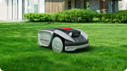
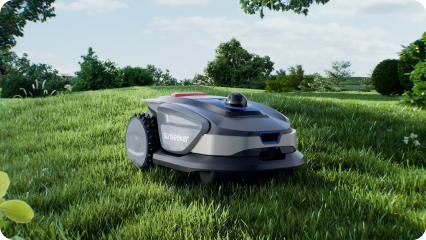
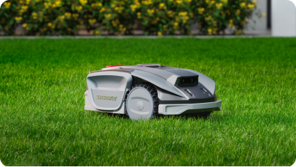
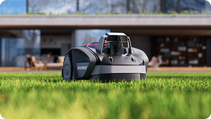
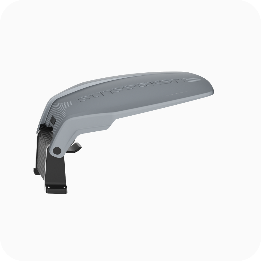
For a current Sunseeker example, Sunseeker S5 brings those requirements together in one platform. RTK + VSLAM; AWD; max area 1600 m²; 20-60 mm cutting height; 20 cm cutting width; up to 60% / 30° slope; 80 multi-zones; Wi-Fi/Bluetooth; intelligent path planning. The value of that combination is a more consistent mowing workflow across the yard rather than a single isolated specification.
The two approaches solve related problems in different ways, so the practical trade-offs become clearer when the same performance factors are viewed side by side.
|
Factor |
RTK |
vSLAM |
|
Reference |
Corrected satellite coordinates |
Visual map/features |
|
Open-sky positioning |
Very strong with fixed solution |
Good if visual tracking is stable |
|
Under dense trees |
Can degrade from blocked/reflected GNSS |
Can continue if texture/light are sufficient |
|
Drift |
Globally anchored |
Can accumulate without loop closure/fusion |
|
Obstacle data |
Position only |
Camera stream may support perception separately |
RTK can provide centimeter-level absolute positioning when satellite observations and correction data are strong. vSLAM estimates motion relative to visual features and can also be precise locally, but drift can accumulate until loop closure or another absolute reference constrains it. On a mower, the two methods answer complementary questions: RTK anchors the machine to global coordinates, while vSLAM can maintain local motion through areas where satellite geometry is temporarily poor. Hybrid performance depends on calibration and fusion logic, not simply on having both sensors present.
Dense tree cover is one of the clearest differences between the sensing methods. RTK needs useful GNSS observations, and leaves, trunks, buildings, or walls can block or reflect satellite signals. vSLAM can continue using visible scene features if the cameras have enough texture and light. It can still struggle with blur, darkness, repeated patterns, or changing foliage. A hybrid mower can use visual motion information through a short satellite-degraded section and reconnect to RTK when conditions improve, reducing the chance that one shaded strip becomes a persistent navigation weak point.
RTK-based virtual boundaries usually require a map tied to corrected GNSS coordinates, while vSLAM builds visual relationships between camera observations as the robot moves. Both need an initial mapping workflow, but the failure modes differ. RTK setup depends on correction availability and sky view; visual setup depends on image quality, calibration, and scene features. For a homeowner, the best setup is one that makes boundaries easy to edit and validates them before automatic mowing. Walk especially close to ponds, walls, and narrow passages during the first mapping pass.
A reliable boundary must remain in the same physical place across repeated mowing sessions. RTK is strong when the corrected satellite solution is fixed and stable. vSLAM can reinforce local position around visually rich landmarks but may drift if a long feature-poor section offers few constraints. Hybrid systems can cross-check the sources and use one to bridge temporary weakness in the other. Boundary reliability should be tested at the most difficult corners and under the heaviest canopy, because a perfect open-sky run does not reveal how the mower behaves at the property edge.
RTK tells the robot where it is; it does not by itself identify a chair, pet, branch, or newly placed toy. vSLAM uses cameras for localization and may share visual hardware with obstacle perception, but localization and object detection are separate functions. Modern mowers often add binocular vision, depth sensing, LiDAR, bumpers, or dedicated AI perception. When comparing navigation claims, separate position accuracy from obstacle awareness. A mower can know its coordinates precisely and still need another sensor layer to decide what is directly in front of it.
Signal loss should be evaluated as a recovery problem, not just a momentary accuracy problem. When RTK degrades, a hybrid system can propagate motion with visual-inertial or wheel information and then reconcile the estimate when corrected GNSS returns. When visual tracking degrades, RTK can keep the global pose anchored. Good software also slows, stops, or re-localizes when confidence becomes too low instead of continuing blindly. In a yard, recovery quality is especially important in passages that move repeatedly between open sky, tree cover, and the side of a building.
A hybrid setup is most useful when the yard repeatedly alternates between strong satellite conditions and areas where local visual tracking is more dependable. The value is in continuity, not sensor count.
A hybrid system is most useful when a yard alternates between good satellite visibility and short areas where RTK is unreliable. Open lawns can use the global stability of RTK, while visual motion estimation helps through tree cover, beside the house, or near other obstructions. Fusion also provides cross-checking: when one source loses confidence, the robot can rely more heavily on the other or pause until it relocalizes. The approach makes less sense if the yard is entirely open and simple or if the visual hardware cannot maintain reliable tracking. Hybrid value comes from solving mixed conditions, not from adding sensors for their own sake.
The right navigation setup should match the yard’s hardest repeatable condition rather than its easiest open section. Start with where positioning is most likely to lose confidence during a normal mowing route.
For an open property with wide sky view and simple boundaries, RTK can provide a clean wireless setup and repeatable global positioning. For a shaded, visually rich property where satellite blockage is the dominant challenge, strong visual or LiDAR-based localization may be more important. Mixed yards benefit most from sensor fusion. Walk the mowing route and mark tree tunnels, walls, narrow passages, open fields, and areas with changing light. Then choose a system whose strongest sensor matches the hardest 10% of the yard. The easiest 90% rarely determines whether an autonomous mower feels reliable in daily use.
For current mower configurations that combine different navigation methods, browse the robot lawn mower range and match the system to the hardest areas of the yard.
RTK and vSLAM solve complementary navigation problems. RTK anchors the mower to global coordinates when corrected satellite signals are strong, while vSLAM can maintain local motion from visual features when sky visibility weakens. A hybrid system is most useful when calibration and recovery logic allow one source to support the other without hiding low confidence. Sunseeker uses combined navigation approaches on suitable mower platforms, giving mixed yards a way to balance global positioning with local visual continuity.
VSLAM uses camera images to estimate motion while building a map of visual landmarks or scene structure. The system tracks features or image information across frames, estimates the camera pose, and can use loop closure to reduce accumulated drift. An IMU or another positioning source may be fused to improve robustness.
The response depends on the mower. A hybrid system may continue briefly using visual, inertial, or wheel-based localization, then reconnect to RTK when signal quality returns. If confidence falls too far, the safe behavior is to pause or relocalize. Repeated signal loss in one area suggests the map or route should be adjusted.
RTK can work under light or partial tree cover, but dense canopy can block and reflect satellite signals enough to prevent a fixed solution. Performance varies with season, satellite geometry, antenna placement, and correction quality. Hybrid navigation that adds visual or other local sensing is useful when a yard repeatedly passes through dense shade.