






30/07/2026
-
Products
-
V Series
-
-
-
-
Explore
- About Us
- Where to Buy
- Support
Products
V Series
Explore
RTK GNSS is a high-precision positioning method that uses real-time correction data from a reference station to achieve centimeter-level accuracy. It works by calculating satellite signal errors and transmitting instant corrections to a mobile receiver. This technology is essential when your project requires repeatable path-following, such as robotic mowing or precision farming. However, success depends heavily on clear sky visibility and reliable correction signal links. If your task only requires general location awareness, standard GNSS is sufficient; otherwise, RTK is highly recommended.
You see RTK GNSS listed on survey tools, drones, farm equipment, and higher-end robot lawn mowers, then the question becomes practical: does that label actually change performance in your yard or project? The friction comes from similar terms—GPS, GNSS, base station, correction signal—that sound interchangeable but are not. A clear definition makes the rest easier: what RTK GNSS is, what it needs, and when the added precision is worth caring about.
RTK GNSS means Real-Time Kinematic Global Navigation Satellite System: satellite positioning improved by live correction data for much higher accuracy.
GNSS is the umbrella term for satellite navigation systems, including GPS and other constellations. RTK is the correction method layered on top. Instead of relying only on satellite signals, an RTK setup compares those signals with data from a known reference point or correction network, then refines the receiver’s position in real time.
The key boundary is simple: RTK GNSS is not just “better GPS” as a marketing label. It is a correction-based positioning method that requires compatible hardware, a correction source, and reliable satellite and data links. When those pieces work together, position estimates become far more precise than ordinary consumer GPS or GNSS. When they do not, the system may fall back to less precise positioning or lose the repeatability needed for tight path-following.
RTK GNSS works by correcting satellite-position errors while the receiver is moving, rather than accepting the raw satellite estimate.
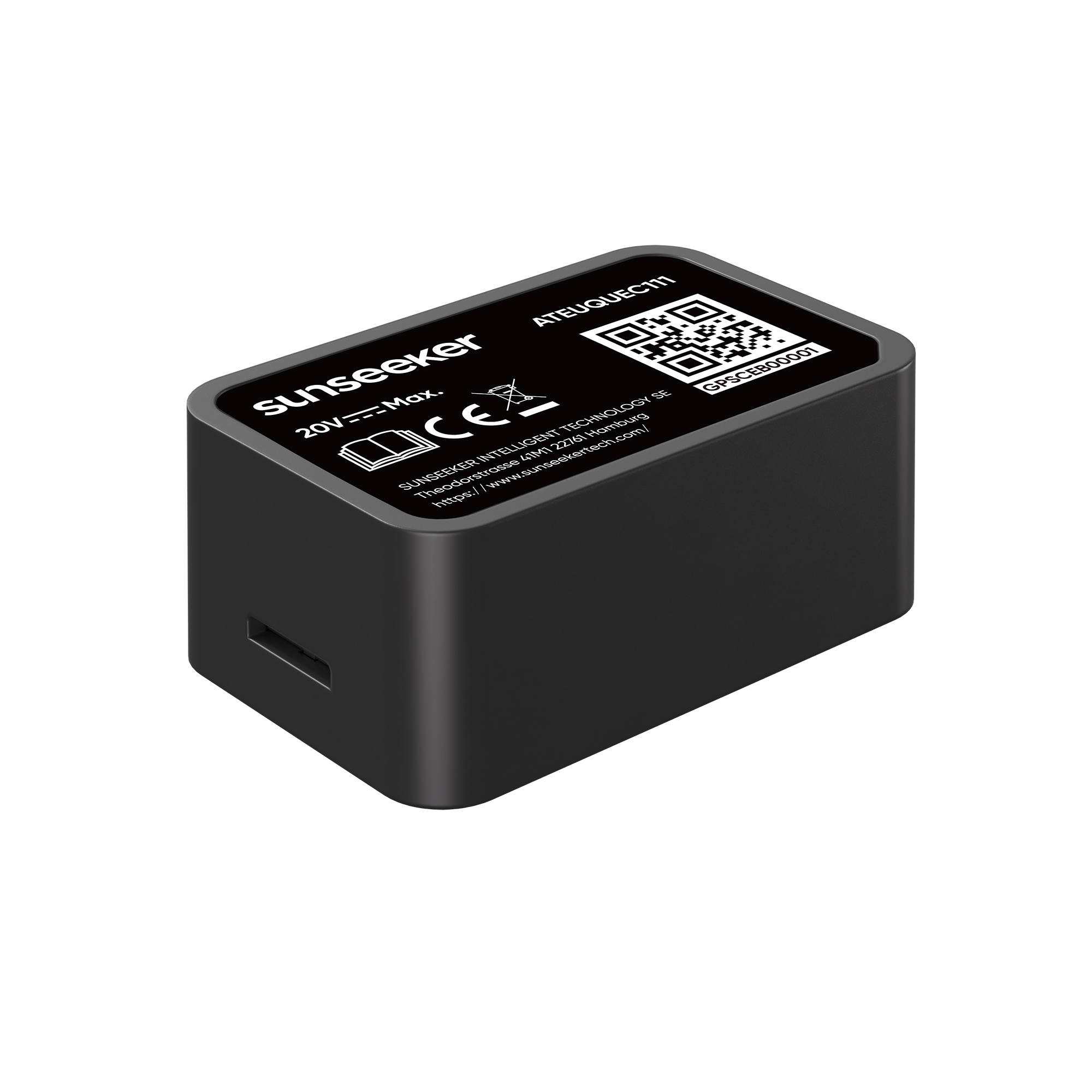
A fixed reference point, usually called a base station, sits at a known location and receives the same satellite signals as the moving receiver. Because the base station already knows where it is, it can calculate the current error in the satellite-derived position. That correction is then sent to the rover receiver, which applies it to its own position calculation.
The chain is straightforward but unforgiving: satellites provide the signals, the reference source measures current error, a data link delivers corrections, and the receiver computes a refined position. Break any link and accuracy drops. Trees, buildings, slopes, weak radio or internet connections, and poor sky view can all reduce consistency. RTK works best with open sky, steady correction data, and enough visible satellites to maintain a high-quality fix.
The relationship between GPS, RTK, and GNSS is easier to follow once each term is separated: GPS is one satellite system, GNSS is the wider family of systems, and RTK is a real-time correction method used with GNSS.
Ordinary GPS or GNSS estimates position directly from satellite signals. That is good enough for car navigation, phone maps, and broad location awareness, but it is not built for repeated precision along the same edge, row, boundary, or route.
RTK GNSS adds a correction layer, so the receiver is not only asking where the satellites place the device, but also what the current position error is near that location. That is the practical difference.
Other correction methods can improve accuracy without the same real-time local-reference behavior, or they may favor broad coverage over tight repeatability. The common mistake is assuming every GNSS device delivers RTK-level precision. It does not. A device must explicitly support RTK-style corrections and have access to a usable correction source.
RTK GNSS matters most when repeatable position matters more than simply knowing the general location.
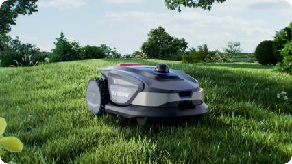
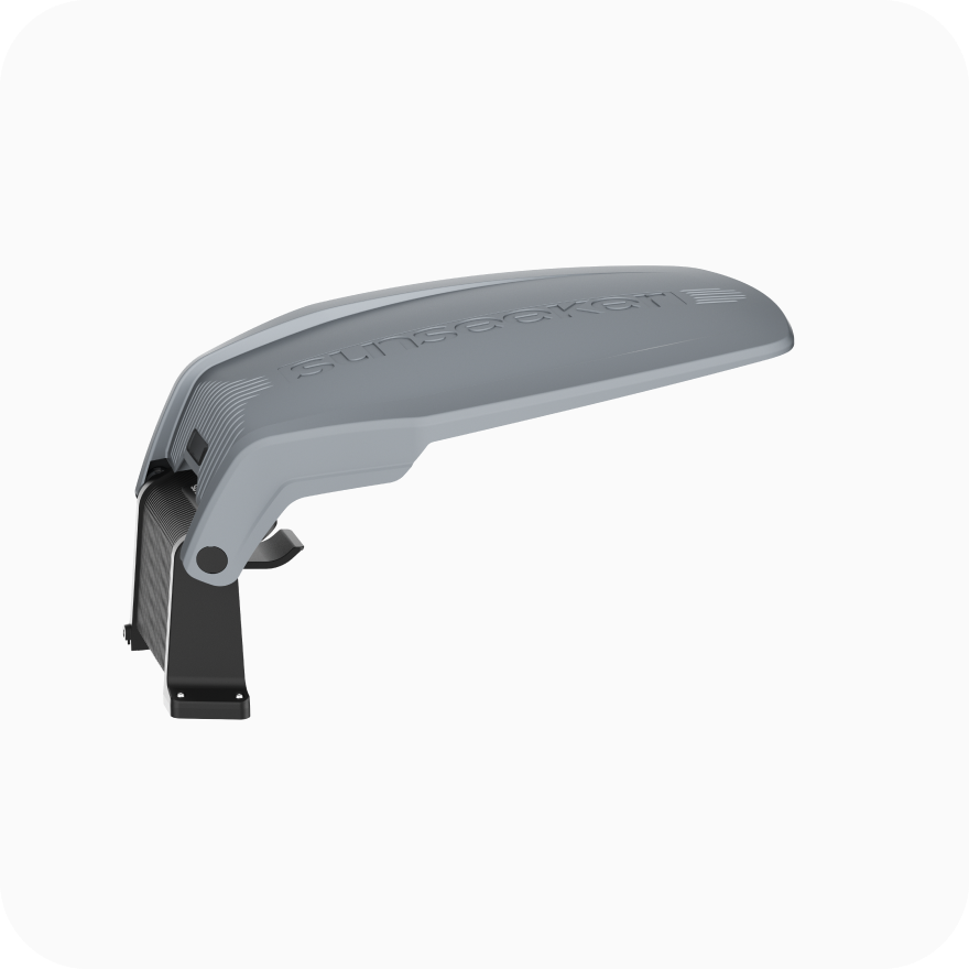
It is valuable for surveying, machine guidance, mapping, precision agriculture, construction layout, drones, and robotic systems that must follow defined paths or respect tight boundaries. In a lawn or garden setting, RTK becomes relevant when a mower or outdoor robot needs to navigate without relying only on a buried boundary wire or random movement. The Sunseeker S5 fits that kind of use case because positioning affects route control and day-to-day mowing behavior.
RTK matters less for casual navigation, rough area mapping, or small spaces where simpler guidance already works. Use the simple decision rule: if the job tolerates rough location, ordinary GNSS may be enough; if it needs repeatable lines, edges, routes, or coverage patterns, RTK GNSS deserves real attention.
RTK GNSS is worth caring about when your equipment must return to the same lines, edges, or routes with consistent accuracy. If your task only needs general location, standard GNSS is usually enough. Check your site conditions first—especially sky visibility and correction reliability—because RTK is only as good as the signal chain supporting it.
GNSS stands for Global Navigation Satellite System, which serves as an umbrella term for satellite networks including GPS and other constellations. While standard GNSS provides general location data suitable for basic navigation, it lacks centimeter-level precision. RTK GNSS adds a real-time correction layer to these signals, allowing compatible hardware to achieve highly accurate, repeatable positioning.
Break any link and RTK GNSS accuracy drops, sometimes forcing the receiver to fall back to a less precise solution. Trees, buildings, slopes, weak radio or internet connections, and poor sky view can all reduce consistency. RTK works best with open sky, steady correction data, and enough visible satellites to maintain a high-quality fix.
You should choose based on whether your task requires repeatable precision or just general location awareness. Standard GNSS is sufficient for basic navigation, rough mapping, or small spaces where simple guidance works. However, if your equipment must consistently follow exact lines, edges, or robotic mowing routes, you need the real-time correction capabilities of RTK GNSS.