

24/09/2026
-
Products
-
V Series
-
-
-
-
Explore
- About Us
- Where to Buy
- Support
Products
V Series
Explore
A new flower bed, a widened path, or a temporary play area can turn a fixed perimeter wire into extra yard work. With a virtual boundary, those limits live in a map instead of underground, so changes are usually handled in software rather than with splices and reburied cable.
The useful question is how the mower knows where that digital line is while it moves. This guide explains the main positioning methods, the yard conditions that suit them, the checks that matter before setup, and what to expect when signal or localization quality changes.
A virtual boundary is more than an invisible fence. It gives the mower a mapped operating area, while separate map rules can control exclusions, passages, and zone-specific mowing behavior.
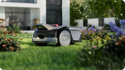
The main boundary outlines the grass the mower is allowed to enter. Inside that outline, many wire-free systems also support no-go zones around ponds, flower beds, play equipment, tree roots, or areas under repair. Corridors can connect separated lawn sections, while multi-zone maps let a homeowner assign different schedules or cutting settings to distinct areas.
The map also influences edge behavior. A mower may follow the virtual line closely, overlap a flush paved edge, or keep a larger offset beside a wall, drop, curb, or water feature. The safest offset is not universal; it depends on the mower geometry, blade position, localization method, and the clearance stated in the manual. Treat the digital line as an operating instruction, not as a physical barrier that can stop a machine on its own.
The mower has to estimate its position continuously enough to compare that location with the saved map. Different systems create that position estimate in different ways and recover differently after uncertainty.
RTK starts with satellite positioning, then adds correction data so the mower can reduce the errors found in ordinary GNSS. A local base station may send corrections directly, or a network service may deliver them over the internet. In open sky, this approach can support precise, repeatable lanes and map boundaries across a large lawn. Tall buildings, dense tree canopies, walls, and narrow spaces can reflect or block satellite signals, so a good setup also needs clear rules for what the mower does when the position fix weakens.
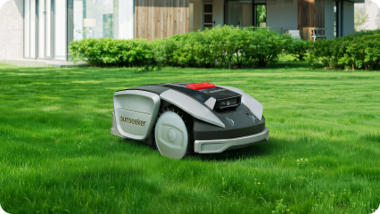
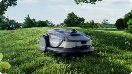
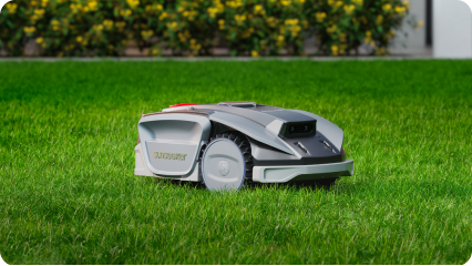
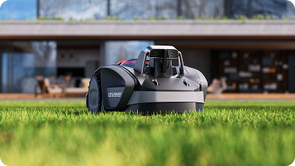
LiDAR measures the shape and distance of nearby objects, while vision-based systems use camera features to recognize and track the surrounding scene. These methods are useful where a mower can reference local geometry instead of relying only on a clear view of the sky. For example, Sunseeker S4 combines 3D high-precision LiDAR with AI-assisted visual sensing, supports automatic mapping, multi-zone management, and no-go areas, and is designed without a perimeter wire or external antenna. Its local sensing approach gives the mapped boundary a stable environmental reference in complex residential gardens.
A strong navigation stack rarely relies on one sensor alone. Wheel odometry, inertial sensors, cameras, LiDAR, GNSS, or bumper data can be combined so one source can support another for short periods. The important detail is the recovery policy. If the mower becomes unsure of its position, a well-designed system should slow, stop, retreat to a known area, or relocalize before resuming. That behavior matters most near narrow passages, steep drops, ponds, public sidewalks, and other places where a small position error could have larger consequences.
Virtual boundaries are most convenient where the digital map matches stable yard features and the navigation system has reliable references. Some lawn layouts need extra testing before unattended mowing.
They usually work especially well when:
They need more care when:
A clean first map is only part of a dependable setup. Before routine mowing, check how the boundary is edited, what services the mower needs, and how it behaves during localization loss.
Look for a mapping process that is easy to repeat after landscaping changes. The app should show the saved work area clearly enough to spot a misplaced edge, and useful systems let you add no-go zones, passages, or separate areas without rebuilding the whole map. During initial mapping, clear movable objects that could confuse the expected scene and walk the mower carefully around difficult edges if manual guidance is required. After saving, inspect corners, gates, narrow strips, and transitions in person. A map that looks tidy on a phone screen can still need more physical clearance near hazards.
Check which functions depend on Wi-Fi, cellular data, Bluetooth, a local RTK base, or a network correction service. An RTK network may need an internet path to receive corrections, while LiDAR or vision localization can rely more heavily on onboard sensing. App access, remote commands, firmware downloads, theft tracking, and map synchronization may have different connection needs than basic navigation. Before buying, read the manual for the exact model and identify what happens in Wi-Fi dead zones rather than assuming every connected feature must remain online for the mower to stay inside its saved area.
The most important question is not simply if a signal can drop, but how the mower responds when confidence falls. A good system should avoid blindly continuing toward a mapped edge. Check for documented stop, retry, return, or relocalization behavior, then test the known weak points of the property while you are present. If a mower repeatedly pauses in one location, improve the route or mapping conditions instead of shrinking safety margins. After major pruning, construction, moving large structures, or changing a corridor, recheck the relevant boundary before returning to an automatic schedule.
A virtual boundary is most useful when the mower can keep a trustworthy position estimate and the map reflects the real yard. Focus on stable mapping, sensible clearance around hazards, and predictable recovery when localization quality drops. Recheck difficult passages after landscaping or seasonal changes instead of treating the first map as permanent. For ongoing wire-free lawn care, Sunseeker’s robot lawn mower range includes models built around different navigation approaches, so the yard layout can guide the technology choice.
A virtual boundary avoids buried perimeter wire and makes later map edits easier. It can support no-go zones, multiple mowing areas, and mapped passages without physical rewiring. The main benefit is flexibility, but reliable use still depends on accurate localization, correct safety margins, and a mower that handles weak positioning in a predictable way.
Wire-free setup is usually faster because there is no cable to trench, peg down, splice, and test around the entire lawn. You still need to map the work area, define exclusions, and test difficult edges. A simple yard may take one mapping session, while multi-zone or obstacle-heavy properties can need extra passes and edits.
It depends on the mower’s navigation design. Some onboard LiDAR or vision functions can keep localizing without continuous Wi-Fi, while network RTK corrections, remote controls, map sync, or alerts may need connectivity. Check the exact model’s manual and test the dead zone while present so you know which functions continue, pause, or recover.